50km - Bristol Temple Meads Return Ticket
The opening 2km are along the bank of the river Avon as the route heads out of Bath. There is a 600m section along a quiet road as the route moves from the river bank and onto the railway path where you will have your first pass of the drinks station. Please stick in single file and to the left hand side to ensure there is plenty of space on the road.
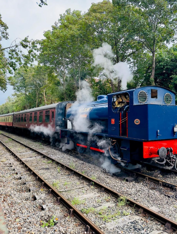
The next 5km section takes you into the wide open countryside and on bridges over the river Avon and past the impressive grounds of Kelston Park on your right hand side. Once you are 8km into the route you will be running parallel with the Avon Valley Railway, where if you are lucky you will run alongside an active heritage line service during your run.
At 10.5km there is a drinks station just by the station and platform bringing you up close to the train line. There are 2 crossing points of the railway here, so you may need to pause for a moment whilst the train passes. A train passes twice every 75minutes so it unlikely to cause delays to your run.
At 14.5km you will reach the next drinks station, outside the popular cafe at the former station in Warmley. From here, the route goes up ever so slightly to cross a dual carriageway at 16km and then it is downhill all the way to the finish. Along the way you will pass under Staple Hill tunnel, 450m in length, which you reach at 18.5km into the run. There is a final drinks station shortly after 20km.
The route comes off the old railway line for the final km of the outward route. There are a number of road crossings, most of which are signal controlled. Normal rules of the road apply and you may need to wait whilst the lights change. These crossing points are marshalled, but they do not have the power to stop traffic, the final decision to cross a road lies with the runner. Between road crossing points, please stick to the pavement.
The turn around point is adjacent to the finish line of the 25km and is positioned on the concourse outside Bristol Temple Meads Station. After grabbing another drink and bite to eat it is time to start the return leg of the journey back to Bath and the finish line at Green Park.

Interactive 3D Elevation Profile Map
As you can see, the elevation profile is very flat with just 141m elevation across the route. There is barely any height change in the first 9km, with the climbing focused between 9km and 16km. There is one short climb just before 16km where the original railway line route gives way to a modern diversion to hope over a dual carriageway. The good news is that the following 3km are flat, and from 19km through to 25km you are on a gentle downhill all the way to the turn point.
The return leg has 20m more climbing than the outward leg by virtue of the outward journey being a net downhill. Most of the climb comes in the opening 5km as you head out of Bristol, past the striking remains of the stone station at Mangotsfield. The good news is that the final 14km are a slight downhill all the way bringing you home with some extra spring in your step
